The situation: Months of manual labour for critical infrastructure
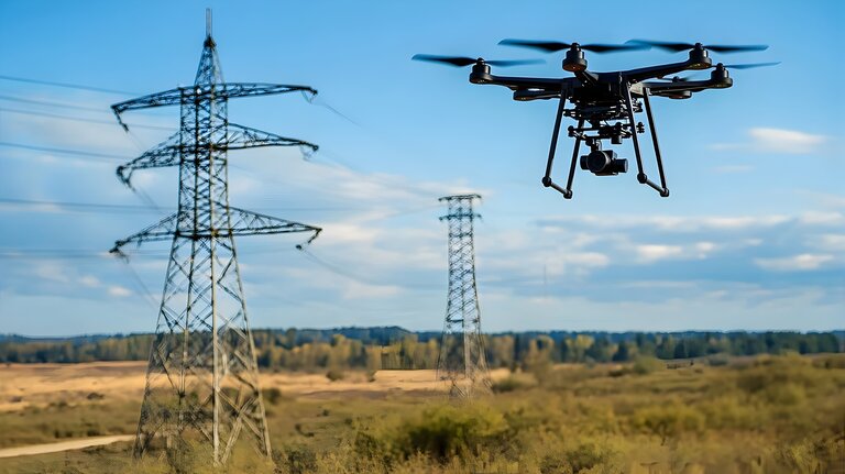
Transmission system operators are responsible for thousands of kilometres of high-voltage power lines stretching across Germany. These routes must be regularly checked for hazards: is vegetation growing too close to the lines? Are there new developments within the safety corridor? Has land use changed?
Until now, this has been a manual process. Specialised service providers analysed aerial photographs and classified each area along the route according to a complex scheme comprising 49 different land-use categories – ranging from agricultural land and residential areas to industrial sites and nature reserves. This process took several weeks per section of line. The annual costs ran into six figures.
The challenge: 49 land-use categories, countless special cases
The complexity of the problem quickly becomes clear when you look at the classification requirements: motorways must be distinguished from A-roads, railway lines categorised by speed, and industrial estates separated from residential areas. Added to this are special cases such as event venues, substation sites or water protection areas.
This is feasible for a human – but time-consuming. It is too complex for a purely AI-based solution, because the classification requires not only visual recognition but also contextual knowledge of land uses and regulatory requirements.
The solution: an intelligent combination of AI and open data
The breakthrough came through a hybrid approach. Instead of relying solely on computer vision, the project team combined two data sources:
Machine learning for visual classification: A trained machine learning model analyses high-resolution aerial images and recognises structures, vegetation, roads and buildings. The model was trained to meet the specific requirements of route monitoring.
OpenStreetMap for contextual information: The geodata from OpenStreetMap provides information on what a detected structure is – whether a building is a residential property, a church or an industrial site; what class of road a detected road belongs to; and whether a wooded area is a nature reserve.
Matching both data sources produces a validated classification: the AI recognises that there is a building there, whilst OpenStreetMap identifies what type of building it is.
The results: from months to minutes
The pilot phase analysed 15.3 square kilometres of corridor area across eight route sections. The results exceeded expectations:
- 97 per cent of the areas were automatically classified correctly. Only 3 per cent required manual verification by GIS specialists.
- A 99 per cent hit rate for area coverage. Measured in square metres, the system achieved almost complete coverage.
- 93% class match rate. For areas recorded by both the AI and in OSM, the classifications matched in 93% of cases.
In practice, this means that what used to take months is now done in minutes. The manual workload is reduced by 97 per cent.
Key takeaways: Where AI reaches its limits
Particularly insightful were the systematic errors identified by the team – and the solutions to them:
- White vehicles on roads were frequently classified as buildings by the machine learning model. The solution: if an area recognised as a ‘structure’ lies on a classified road, it is automatically flagged as a misclassification.
- High-voltage pylons were sometimes recognised as roads – an artefact caused by shadow casting. The solution: by cross-referencing with OpenStreetMap data on pylon locations, such areas are automatically corrected.
- Small bodies of water and ponds in agricultural areas were not always correctly detected. These cases account for the 3 per cent of manual post-processing.
This error analysis highlights an important point: AI does not replace expert knowledge – it makes it scalable. The experts, who used to classify each area individually, now only check the borderline cases.
The key to success: data quality before AI
Why did this project succeed whilst so many AI initiatives fail? The answer lies in the preparation:
- Clear classification logic: The 49 land-use types were precisely defined, with unambiguous assignment rules. This is not an AI problem – it is a technical issue that must be resolved before AI development begins.
- Available reference data: OpenStreetMap provides high-quality geodata for Germany. Without this reference, a pure machine learning (ML) solution would not have been sufficient.
- Defined ‘human-in-the-loop’ approach: It was clear from the outset that the final decision rests with humans. The AI makes suggestions – subject matter experts validate them.
Integration: Not a stand-alone project, but part of the workflow
Another key to success was integration into existing processes. The system was not designed as an isolated AI application, but as an extension of the existing GIS workflow: Service providers upload aerial images into the system, trigger the automatic analysis, receive classified areas back as a Shapefile, and only process the marked cases of doubt. The feedback is fed back into the system and continuously improves the model.
Conclusion: AI works – provided the fundamentals are right
This case study exemplifies what AI can achieve in a business context:
- Massive efficiency gains: a 97 per cent reduction in workload whilst maintaining or improving quality.
- Relief rather than replacement: Experts are not made redundant – they are freed from routine work and can concentrate on the truly critical cases.
- Scalability: What works for eight route sections also works for the entire network.
The key did not lie in particularly sophisticated AI technology. It lay in systematic preparation: clear data structures, defined processes, available reference data and a realistic understanding of what AI can – and cannot – do. For companies facing similar challenges, the message is: invest in your data foundations first. The AI will then almost take care of itself.
This article is based on a project carried out by Materna SE for a major German transmission system operator. You can find more information on Materna’s SME initiative here: SME initiative.